
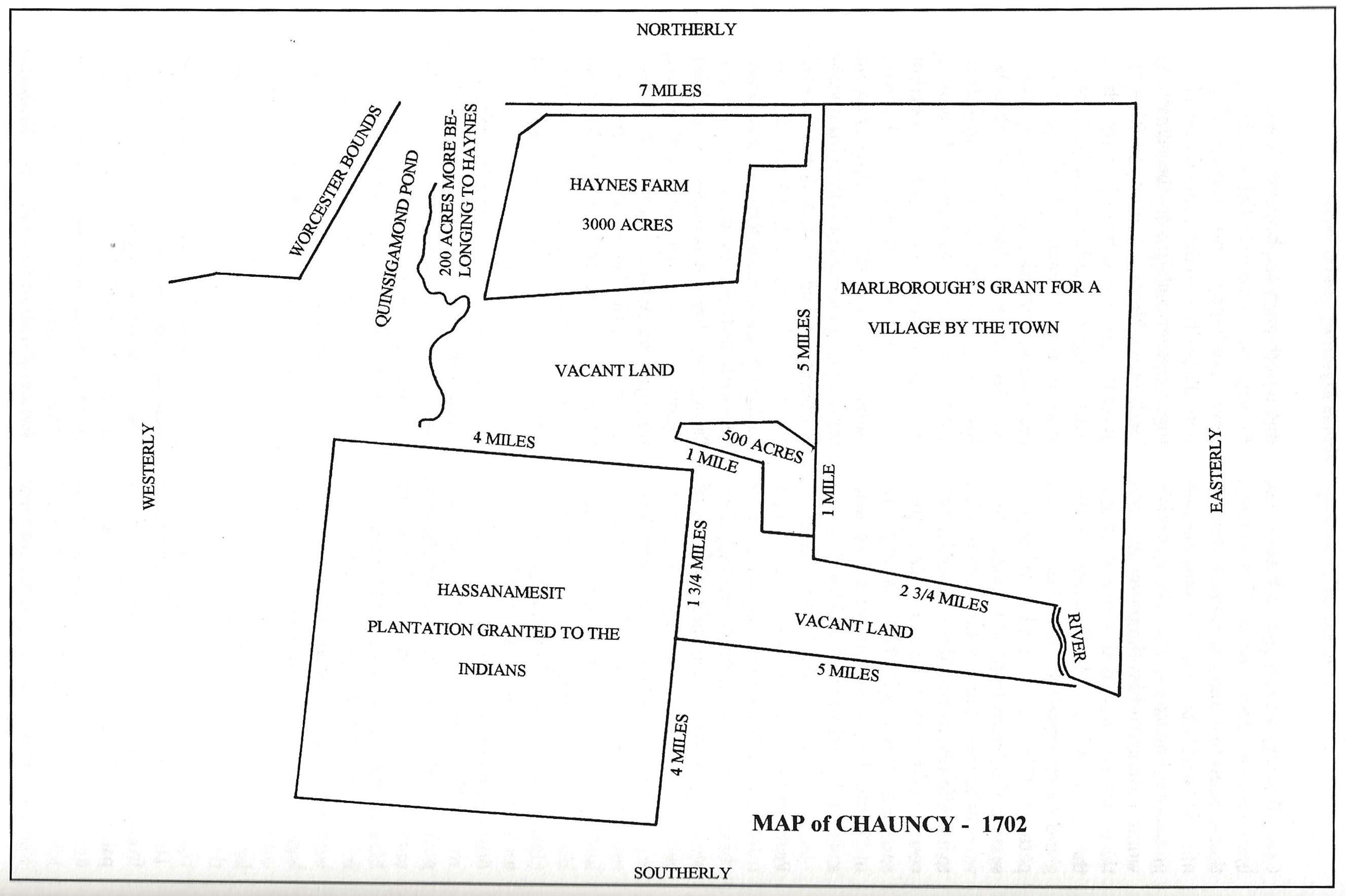
Map of Chauncy - 1702 Courtesy of Dennis Connole
400202 
Citation
“Map of Chauncy - 1702 Courtesy of Dennis Connole,” Historical Documents of Indians of the Far Northeast, accessed May 5, 2025, https://www.hrifne.avantlogic.net/digitalarchive/items/show/1064.Item400202